This course teaches landscape architects how to model topography and design professional landscapes in Revit using real-world workflows, the Environment plug-in, and advanced BIM tools.
Topography modeling based on geographic location using FormIt
Modeling topography based on AutoCAD files
How to use Site tools in Revit
Landscape architect techniques in Revit
Creating Site families in Revit
Tutorial on the Plug-in Environment in Revit
Course Content
Concept and usage of Site tools for creating Topography
Exercise file
Creating Site levels within the project environment
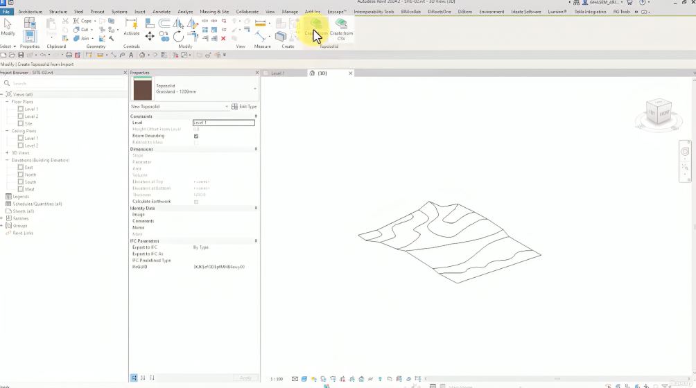
Basic usage of the Toposolid tool
Editing tools (Modify Sub Elements) for topography
Using CAD files for creating topography in Revit
Using Excel files for creating topography in Revit
Converting 3D AutoCAD and FormIt files to Revit topography
Using 3ds Max for Revit topography
Application of Simplify Toposolid tool in topography
Usage of Sub-Divide tool in topography
Professional Edit Type settings for Toposolid
Usage of Site Component tools in Revit
Creating professional Site Component families
Usage of Parking Component tools in Revit
Creating professional Parking Component families
Usage of Railing tool on topography
Technique of using Slab Edge on topography
Application of Property Line tool (professional)
Professional using Label Contours tools
Using Graded Region tools for excavation/embankment calculations
Example demonstrating the use of topography tools
Comprehensive overview of the fully functionality of the Environment
Bonus Section
Udemy.com
Instructor
This course is designed and delivered by Ghasem Ariyani.
Ghasem is a seasoned BIM expert with years of real-world project experience, known for his practical, project-based teaching style that emphasizses hands-on learning and ongoing support to help students solve real design challenges.